We didn’t book the helicopter flight, so got to linger a wee bit over breakfast, visiting again briefly with Stuart and Nancy from Maine, with whom we’d sat at dinner .
As was the case for last night’s dinner, breakfast was a buffet, and rather focussed on the “full English” experience: eggs, sausage, fried potatoes, grilled tomato, baked beans, bacon… pretty heavy stuff. There was not a lot of fresh fruit, although there was a selection of yogurt and cereal. When it comes to food, we always remind ourselves of where we are; yesterday we were told how very expensive food is here on “the coast”, where the largest town (Greymouth) only has 10,000 inhabitants, and we’re well out of agricultural fields and into rainforest.
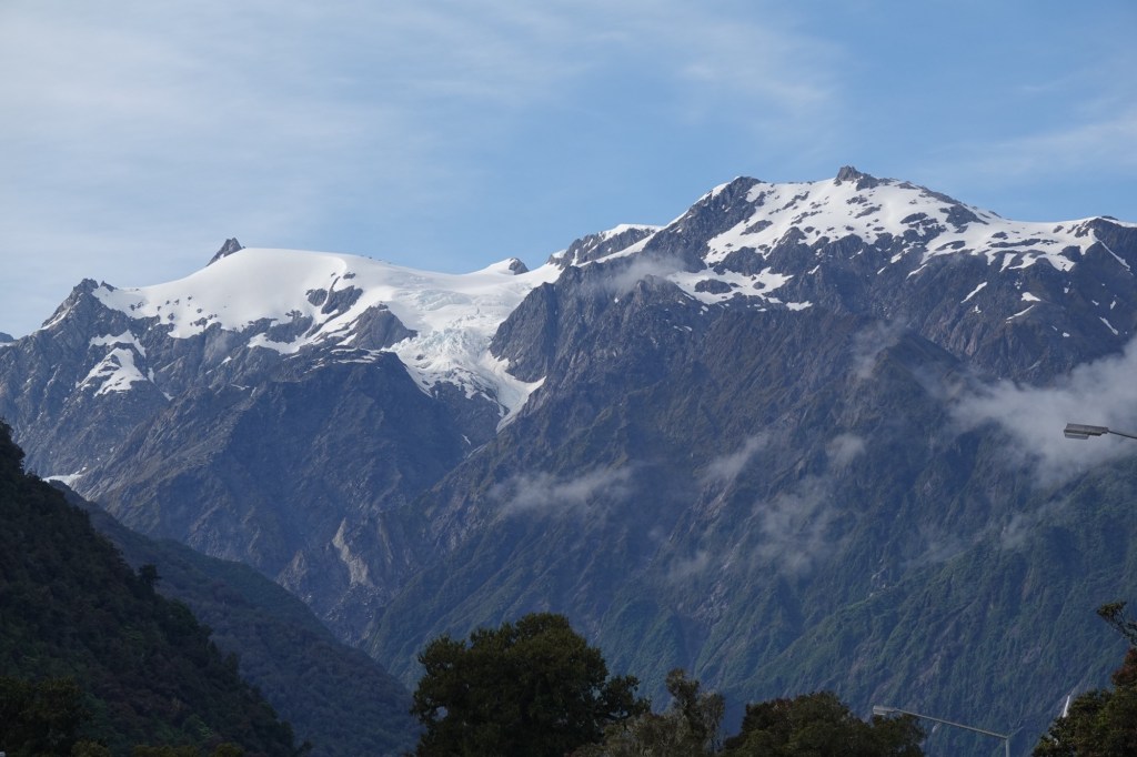
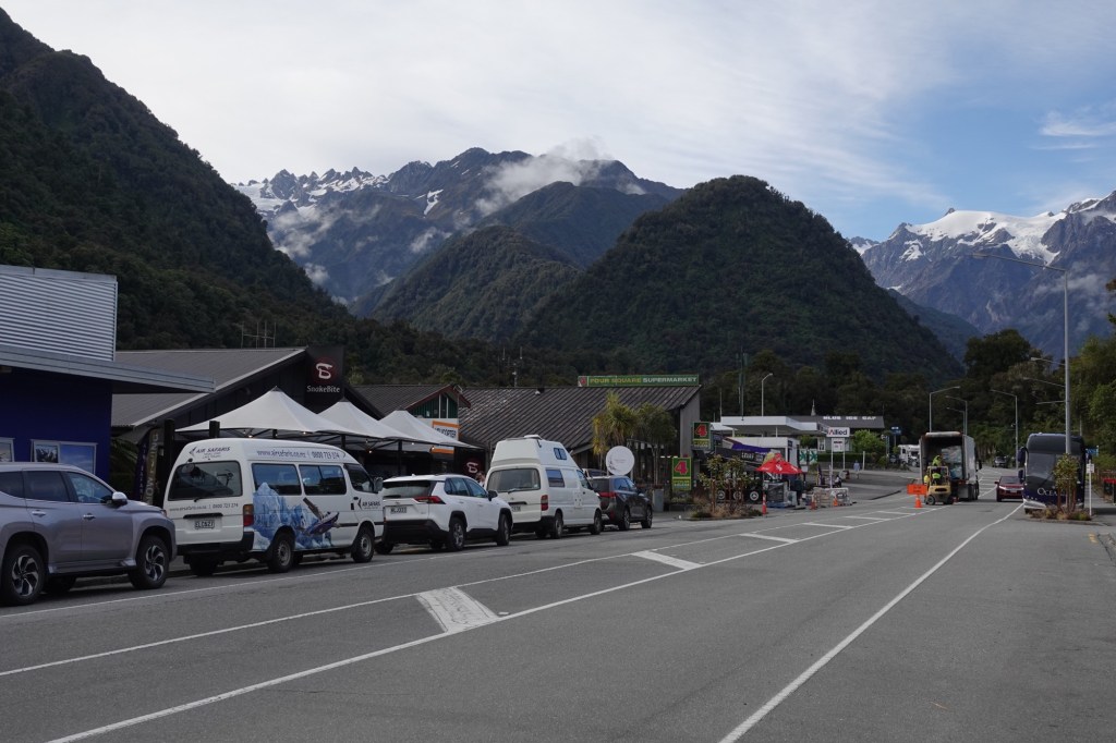
Today was the longest travel day of the entire tour, since we had to get back across the Alps by coach, so we started our day with some gorgeous views from our Franz Josef hotel before boarding the bus.
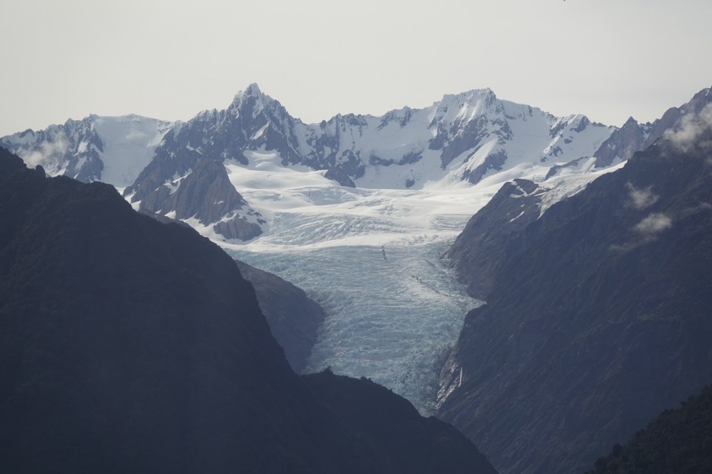
Our first stop was at a viewpoint for the Fox Glacier. This glacier is New Zealand’s most accessible since it can be clearly viewed without needing to get into a helicopter.
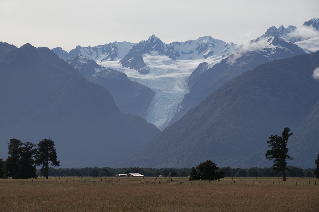
The Fox Glacier is a 13 km temperate maritime glacier fed by 4 alpine glaciers. It looks completely different from all the glaciers we’ve seen before, all of which ended in the water; this one once did too, hundreds of years ago when it still reached the coast. It has, unfortunately, been steadily receding.

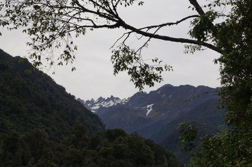
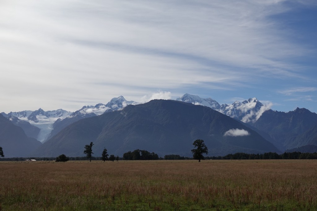
Here we also got our first view of Mount Cook.
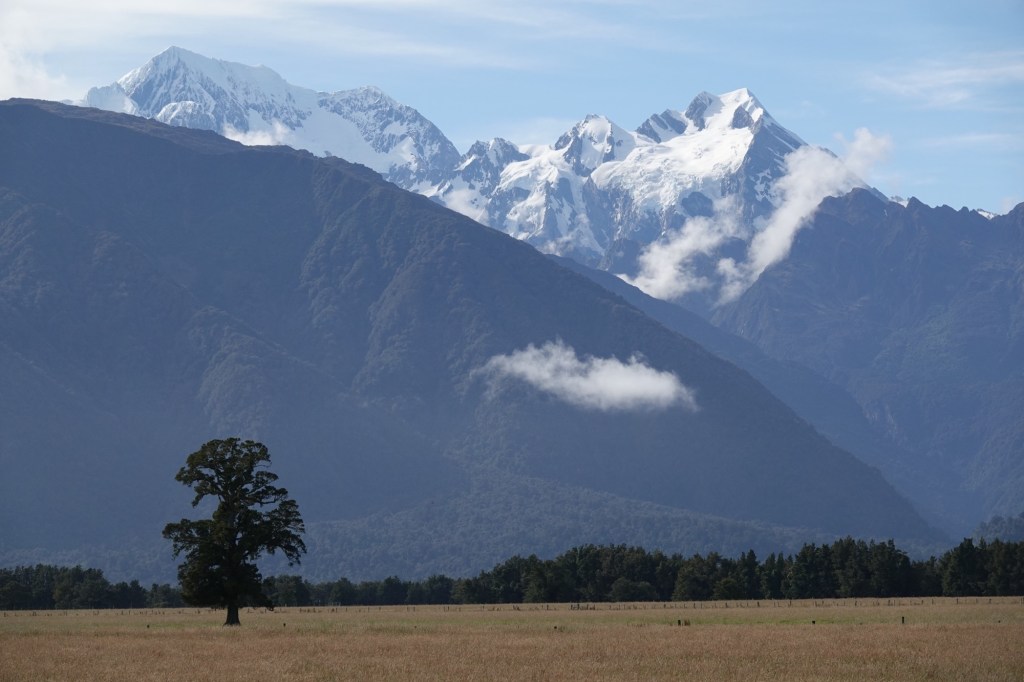
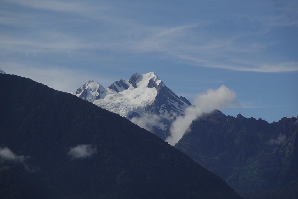
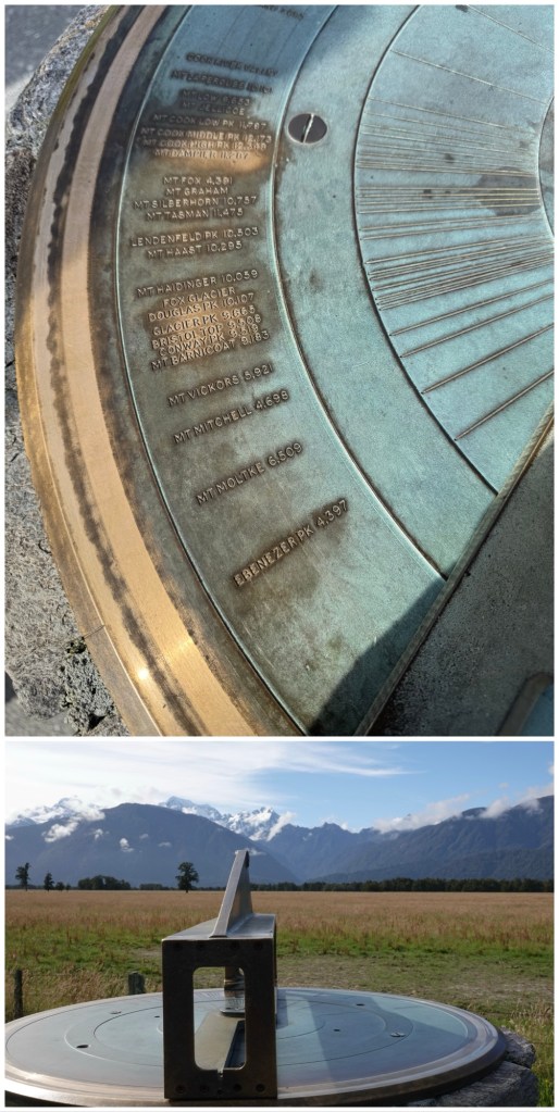
There was a sundial-like apparatus that allowed us to line up our view with individual mountains, which allowed Ted to ensure he was, in fact, focussed on Mount Cook.
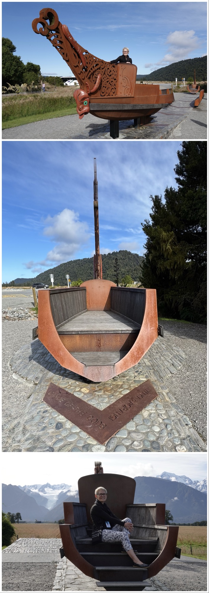
The lookout point also featured a Māori waka, and examples of the varied stages of erosion of its exposed schist rock (metamorphosed greywacke) as it journeys from the mountains to Te Tai o Poutini/the Tasman Sea.
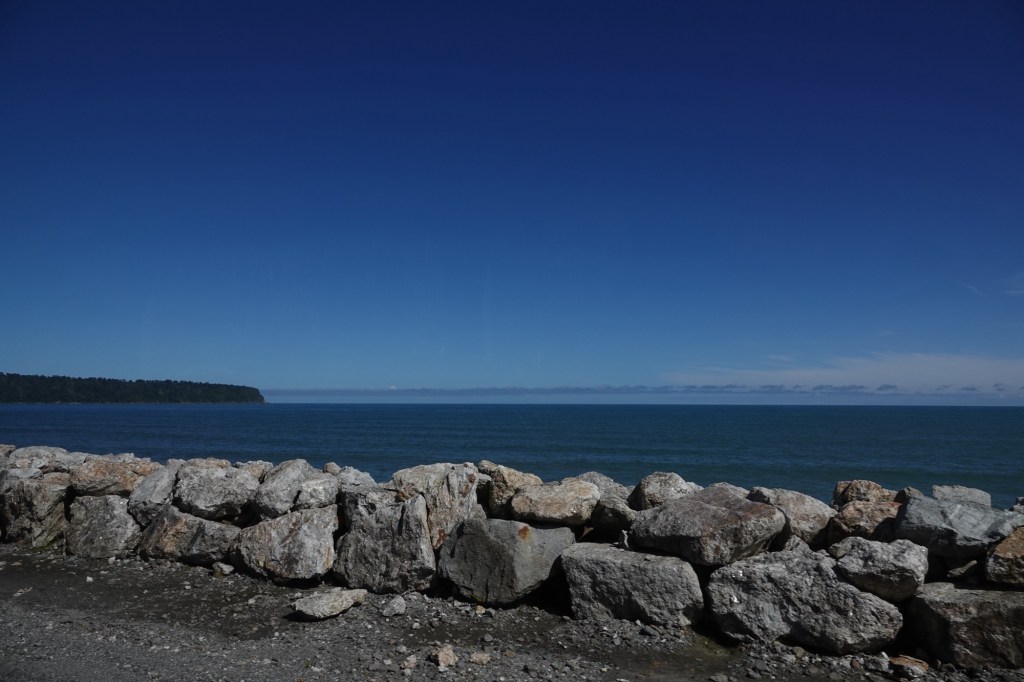
Once back on the road we drove past Bruce Bay, across which on a clear day Australia can be spotted.
We saw many tiny dwellings and small homesteads on our drive. The west coast is incredibly remote, and is home to many people wanting to live off the grid.
Our guides explained that some of the animals we’d see here, like the road kill opossums, are a real problem for the island. Tahr(alpine goats), chamois deer, opossums, stoats, and weasels were all introduced by Europeans and have all become invasive pests. Rats and mice that came off ships and now flourish here are also not native to NZ.
Our drive was along crazily winding roads. I don’t think we had a single straight stretch except when crossing the single lane bridges. Our coach driver, Steve, won many safety awards in his previous career driving milk tankers – we’re really glad it’s him driving and not us. In addition to the potentially hazardous curves, an average 3 metres/10 feet of annual rainfall means that “slippage” of the cliff faces is not unusual.
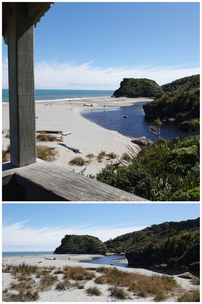
We had a half hour break at Ship Creek Lookout.
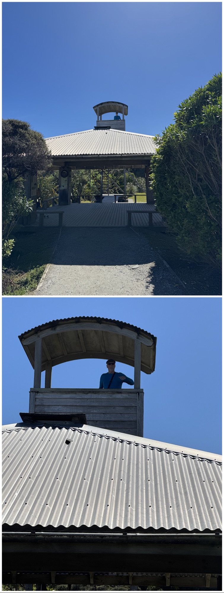
What a choice spot! (“Choice” is Kiwi-speak for excellent.) This lookout is part of the department of conservation (DOC) lands.
We walked a short distance along the dune walk…
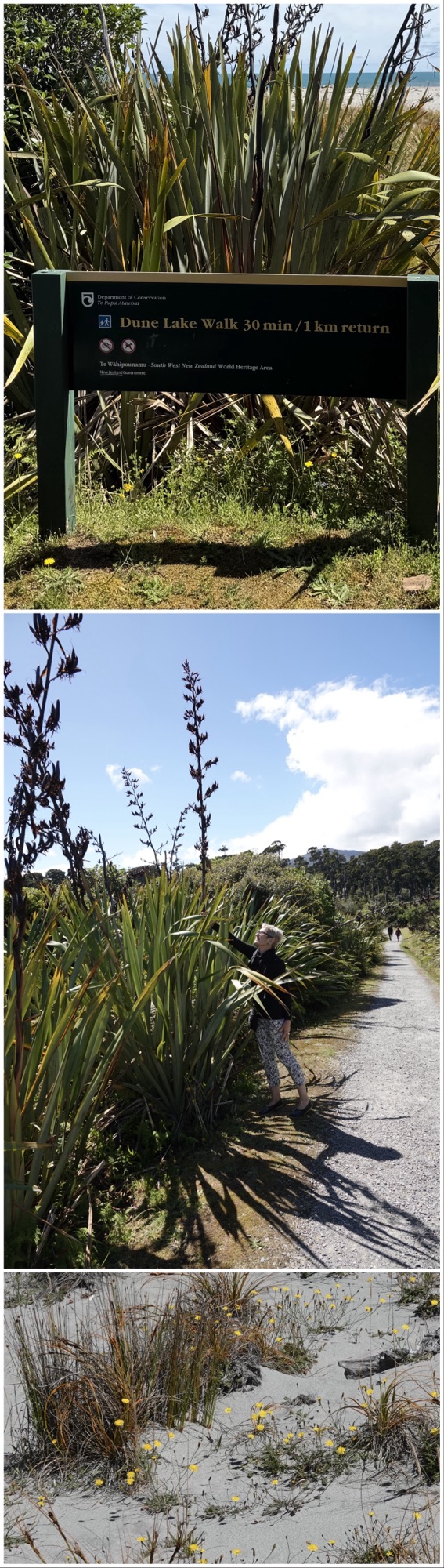
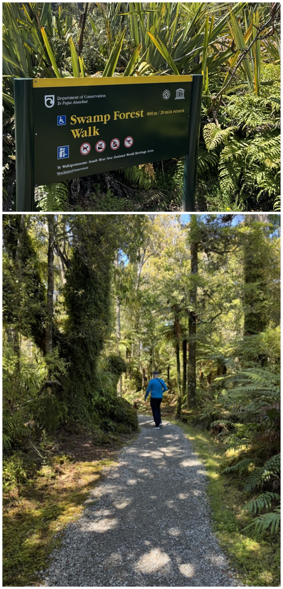
…but then decided to take the swamp forest walk instead – there were far fewer biting sand flies in that direction.
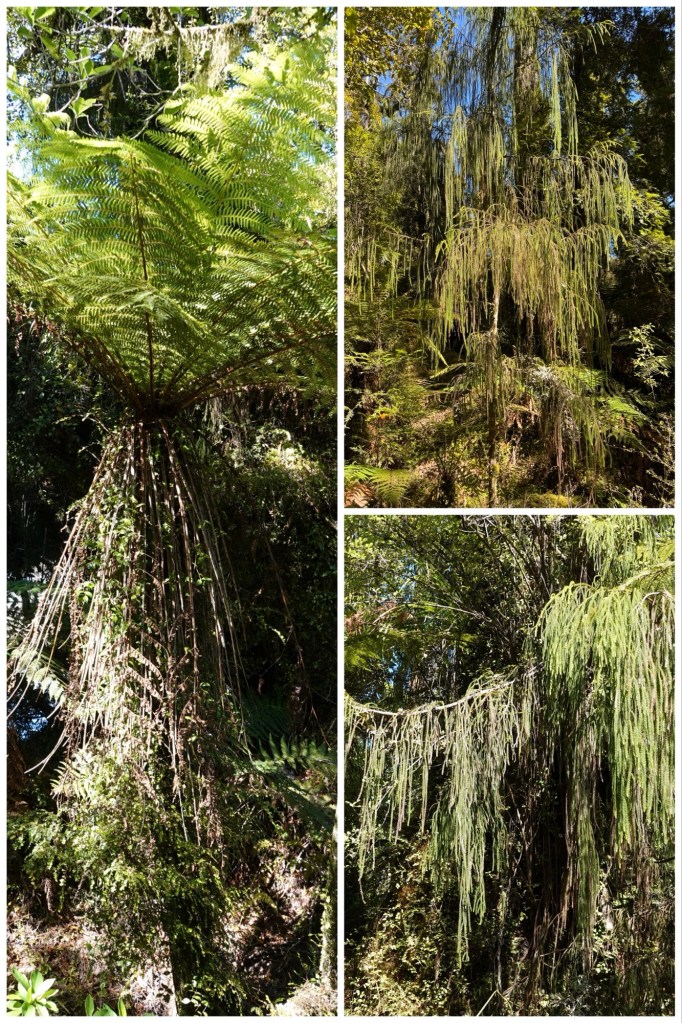
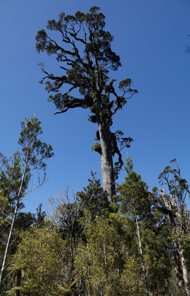
Right: 2 images of rimu, an endemic NZ evergreen with fine green foliage reminiscent of seaweed.

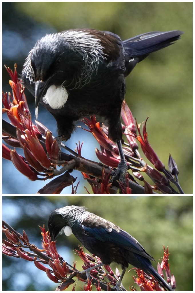
All around us was the melodic sound of the New Zealand tui. Ted finally captured a photo of one later at our Makarora comfort stop.
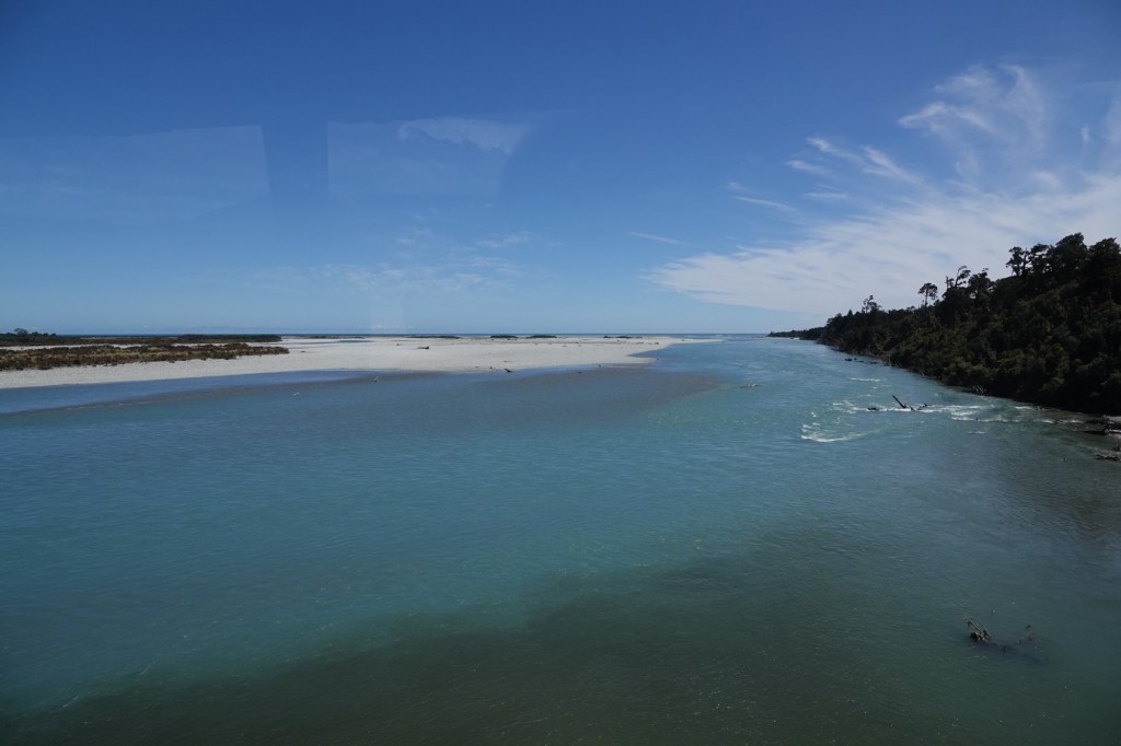
We crossed the Haast River via the longest single lane bridge in NZ. Trevor and Mike asked us to imagine crossing it during flood season (spring: Sept/Oct) when the snow melts off the Alps and the currently almost dry river beds are covered with so much water that the bridge can actually flood. Annual rainfall here is almost 4 metres per year, added to the snow melt ! As a comparison, on the east side of the island average annual rainfall is only around 1-1.5 metres. Right now at the height of summer the rivers are at their lowest levels.
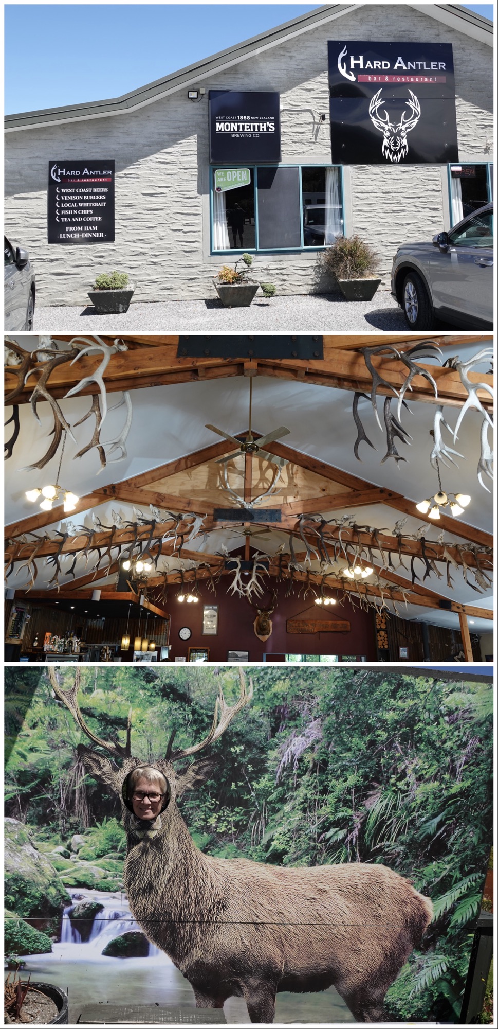
We stopped at the Hard Antler Inn for a lunch buffet that featured very gooey venison macaroni and cheese. Meh. It lived up to our guides’ description of “basic but filling “.
After our lunch stop, we passed through an area where the wind was whipping up the sand on the riverbanks to such an extent that it looked like fog.
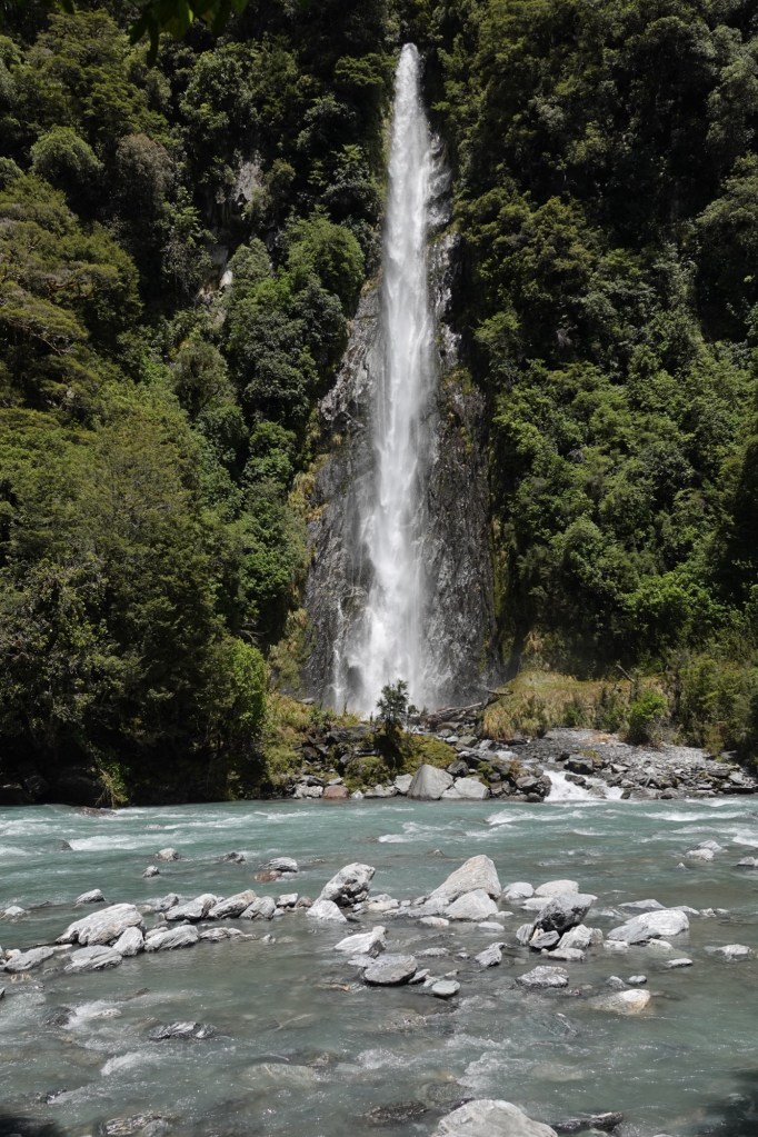
Our next scenic stop was Thunder Creek Falls, where our guides explained the “waterfall illusion”. We were instructed to stare at the falls for 30 seconds and then look to the side of the falls. It appears as if the rock face is actively moving upward!
The 28m/90ft falls are quite spectacular, dropping almost straight diwn the rock face.
The massive rocks in the river at the Gates of Haast attest to how dangerous the mountainsides can be, especially during heavy rainfall. It is not unusual for the Pass to be closed in the winter.
I’m sure this area is spectacular when the rivers are rushing, but nonetheless I’m glad we’re here during the summer.
The Haast Pass is the lowest of the passes across the Southern Alps; Arthur’s Pass that we crossed by train two days ago is the highest. When we crossed the top of the Haast Pass today, the topography almost immediately changed from the lush green rainforest of the west coast to mountain beech forest. Suddenly there were no huge tree ferns!
Plus, the direction of the river’s flow has changed, since it flows down from the peaks of the Alps to the ocean on either side.
We made a comfort stop at Makarora, which has become an area known for deer farming. Deer were originally brought to NZ by colonists for sport hunting, and soon went feral and became a real problem. One of the strategies to combat being overrun by deer was to capture them and domesticate them. That capture was done initially by “helicopter cowboys” who rappelled down from helicopters, lassoed and hog-tied the deer, and airlifted them onto farms. More recently the process has been made a little less exciting by simply dropping a net from the helicopter.
The stop netted Ted his photo of a tui.
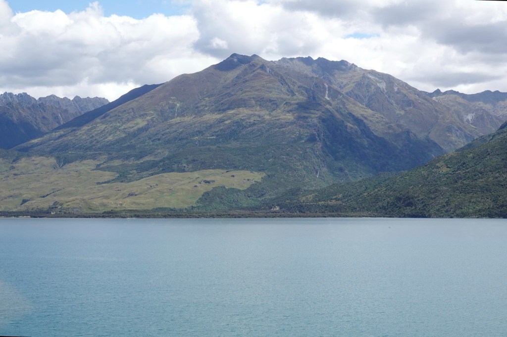
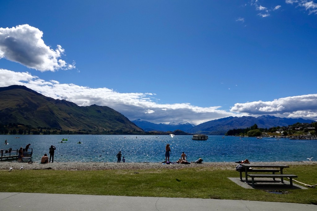
As we continued our journey, there was an area where Lake Wānaka’s waters were still enough to reflect the mountains.
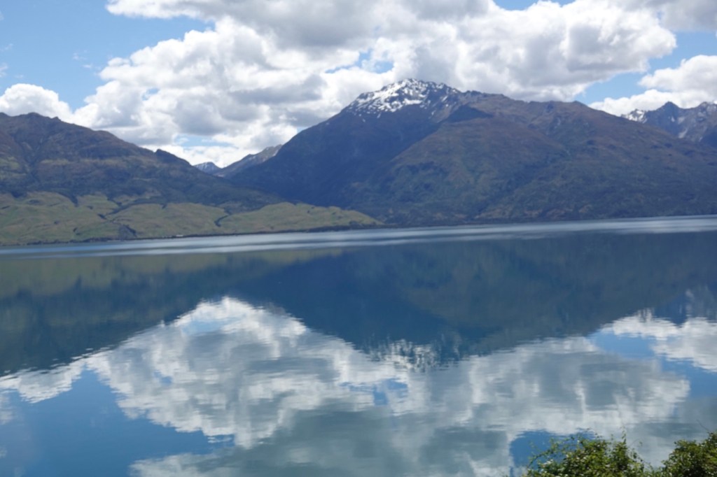
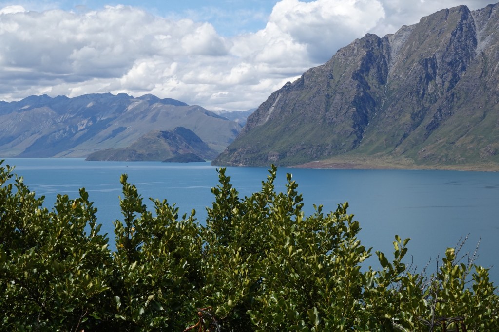
Another scenic lookout gave us the opportunity to see Lake Hāwea, which is separated from Lake Wānaka by an isthmus.
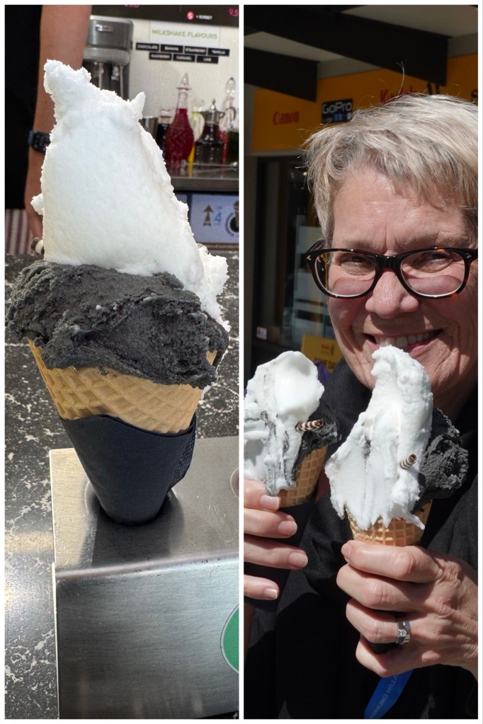
In Wānaka Township we made an ice cream stop to counteract the venison mac and cheese. Black Peak gelato shop had the absolutely choice flavours. Ted and I both had black liquorice with actual liquorice chunks in it, and tart lemon. Scrummy!!!!
Wānaka is busy year-round. In the summer (now) it is a beach town with a lovely waterfront. In the winter, it is a ski town.
From Wānaka we followed the Clutha river almost all the way to Queenstown.
We passed lots of vineyards with mechanical windmill type fans above them which are used as needed to keep cold air from dropping onto the delicate early leaves.
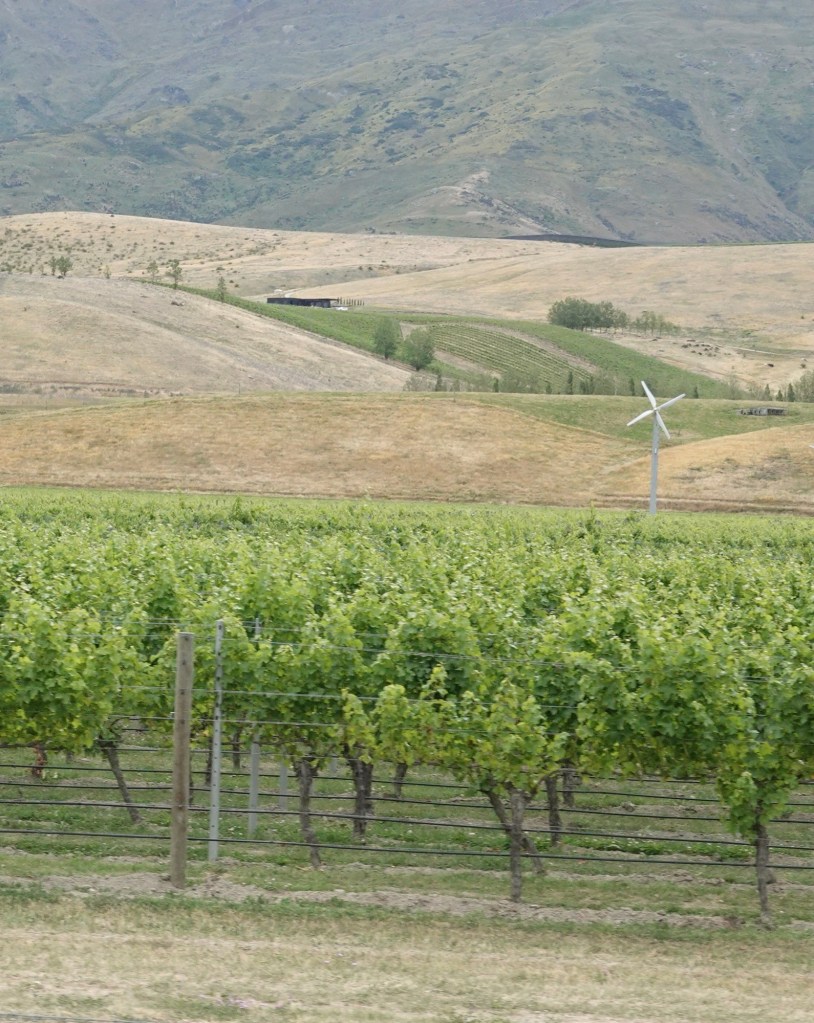
We also passed large cherry orchards (completely netted to prevent birds from eating the fruit), mulberry orchards (grown for the fruit not the leaves, since there is no silk industry here), and lots of stone fruit orchards.
We finally reached Queenstown just after 6 p.m., where we’ll be at the Novotel Queenstown Lakeside for 2 nights.
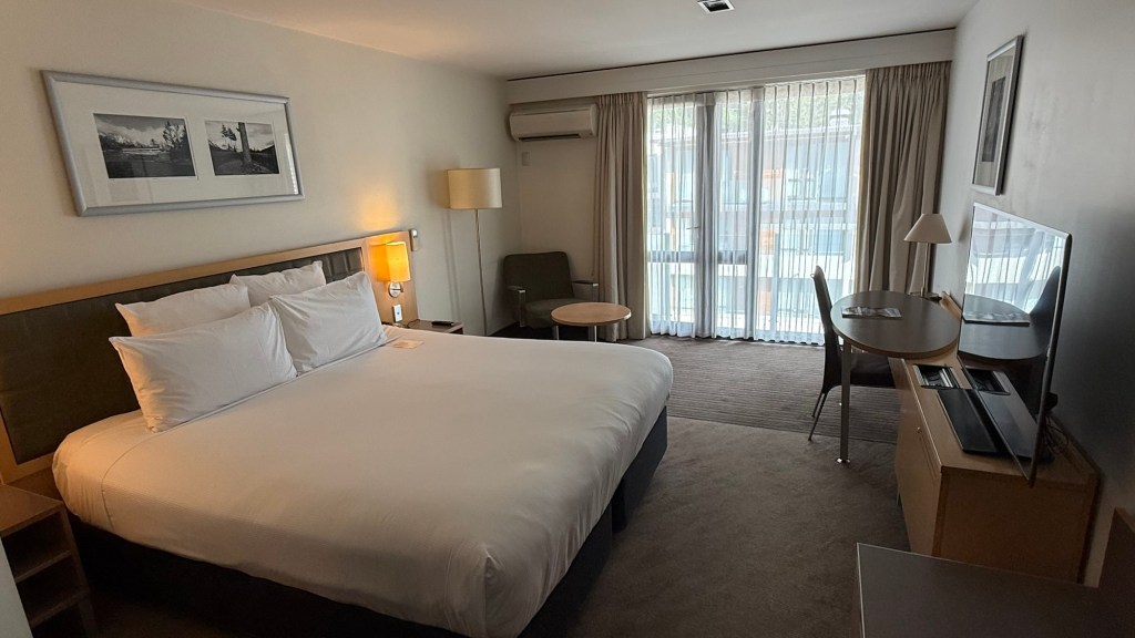
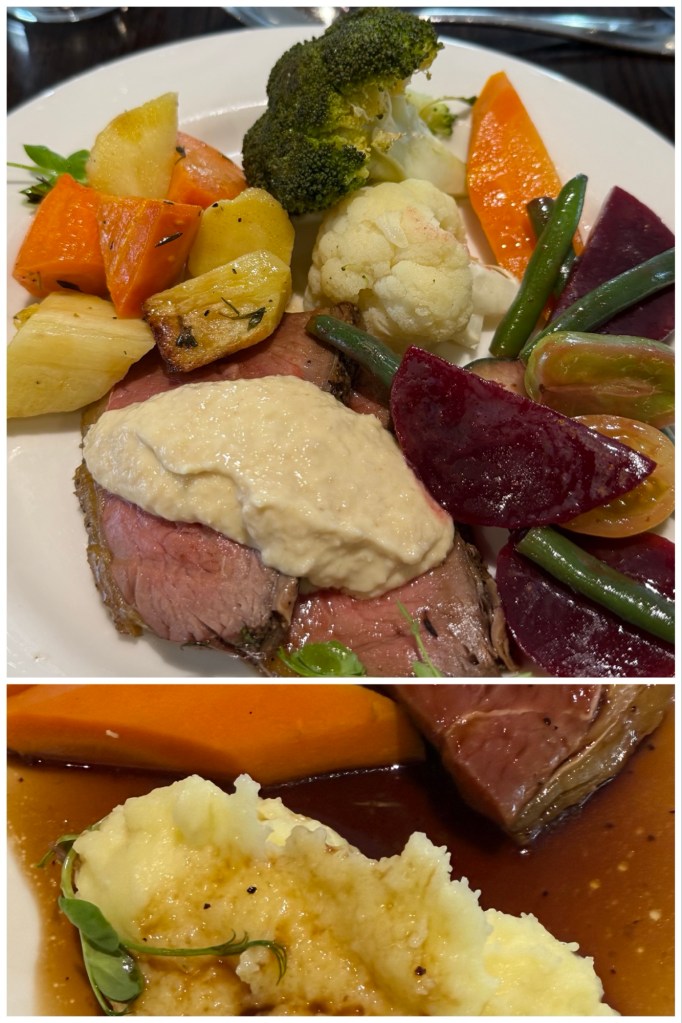
Dinner was in the hotel’s restaurant, and again included wine and beer.
Queenstown is charming, and tomorrow we have a leisurely pace that will allow us to explore it a bit after our mid-morning steamship excursion.
Today’s term: “rock flour”, which is the finely pulverized stone that when washed down the mountainsides by glaciers can make river water look milky grey.
