We’ve been in Christchurch for a couple of days, exploring the town in preparation for the real reason that we’re on the south island: the Sir Edmund Hillary Explorer tour.
For each day, I’ve included first the brochure description, and then our official itinerary. I’ll follow up with Ted’s photos and descriptions of our days.
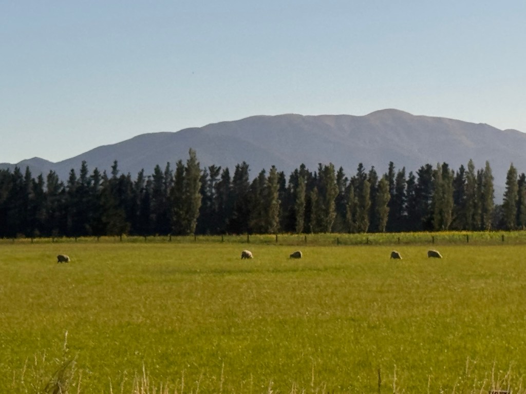
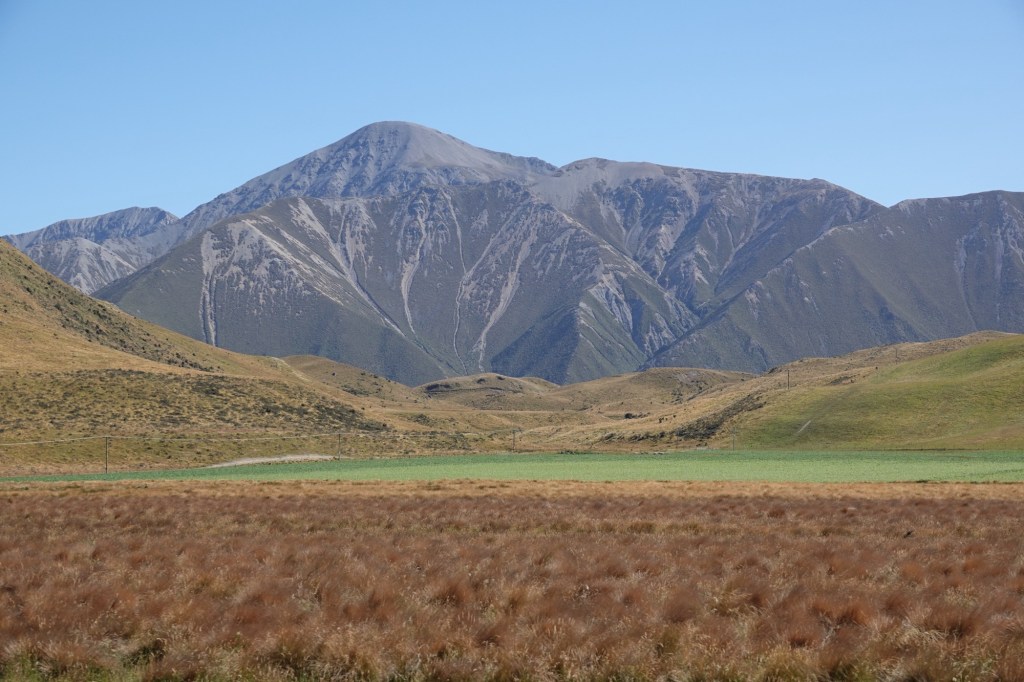
Today we headed to the coast. Since New Zealand is an island, it technically has coast on all sides, however our tour leaders told us that in New Zealand when people talk about going to “the coast” that always means the West Coast of the south Island.
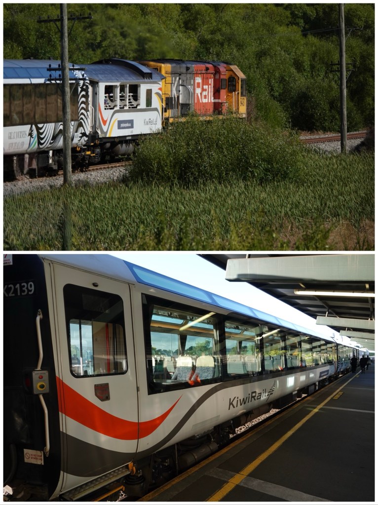
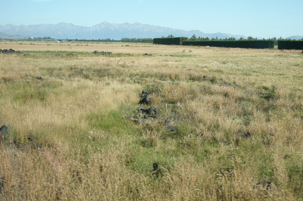
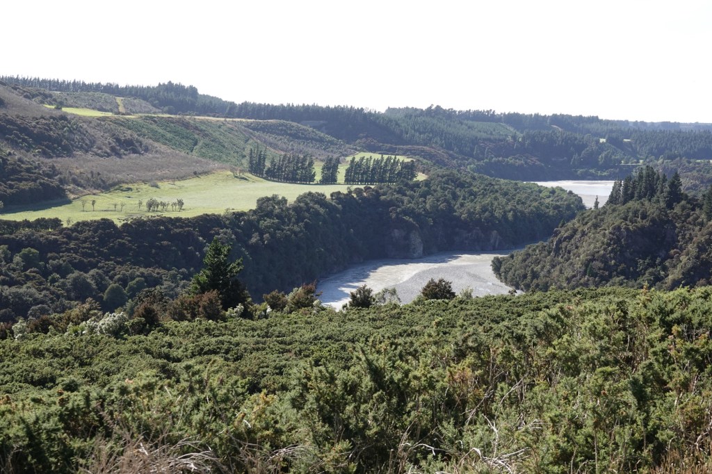
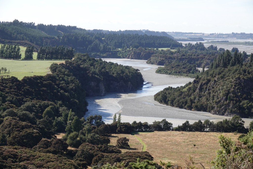
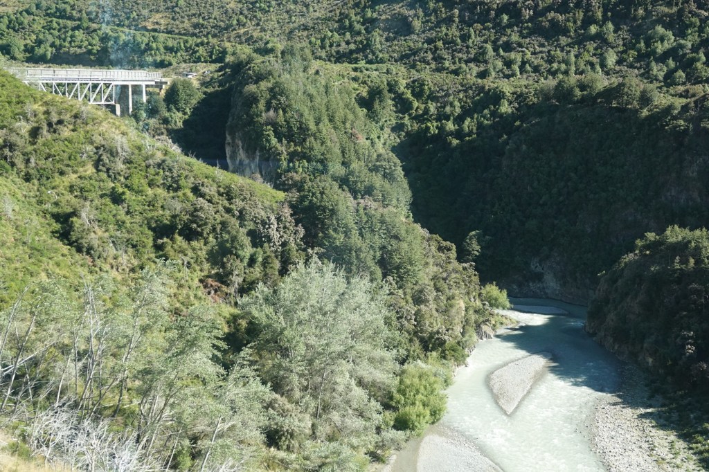
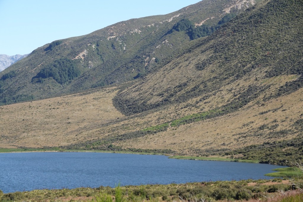
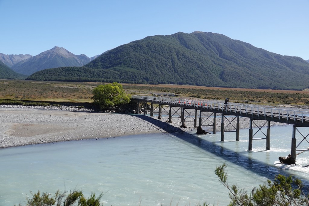
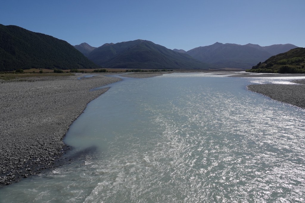
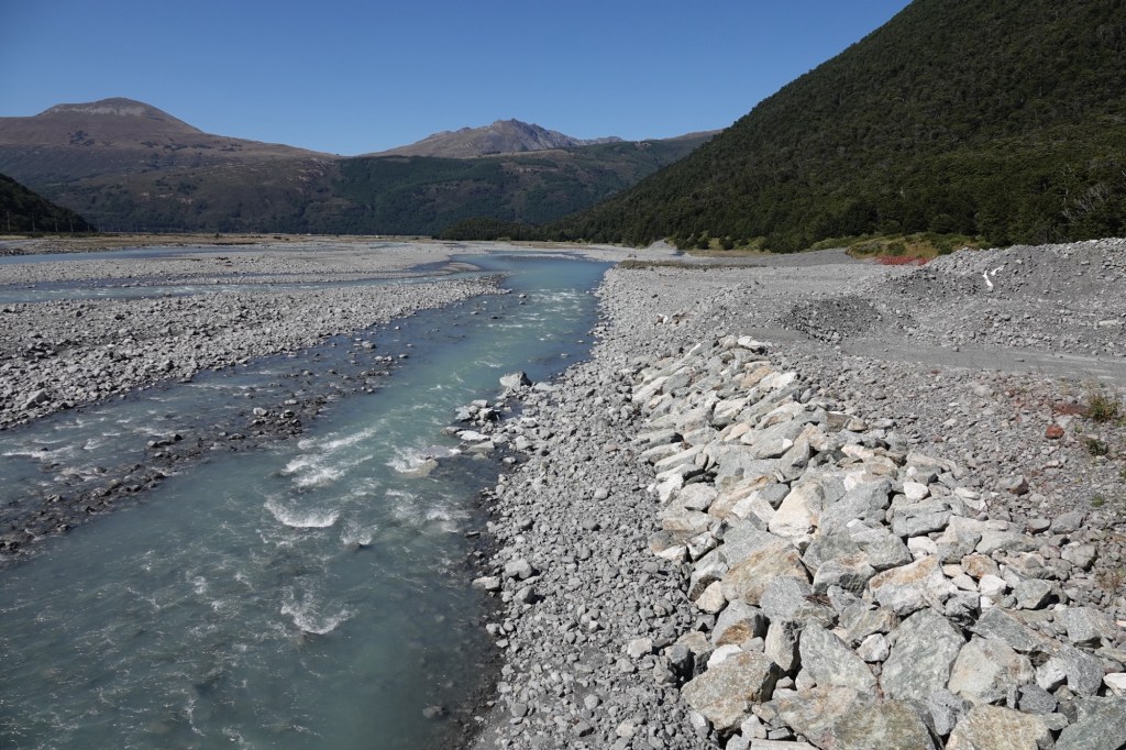
Our 5 hour train ride from Christchurch to Greymouth used the NZGreatJourneys app for scenic commentary, which unfortunately was quite glitchy. There was lots of information, but not really a lot to photograph except rolling mountains, rushing water, and lush temperate forest.
We learned that 99% of the trees in New Zealand are evergreens – even those that have names similar to deciduous trees in North America (like beeches.) Any non-evergreens were brought here by English and a European colonists.
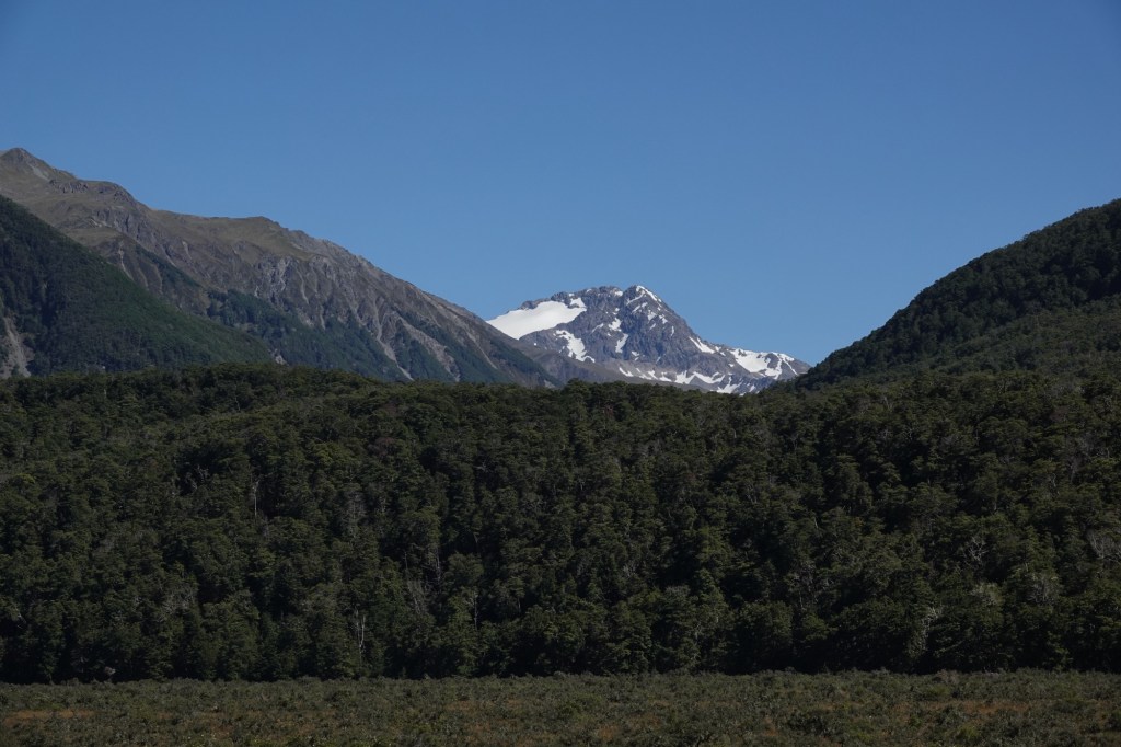
We crossed the Alpine range at Arthur’s Pass and will eventually return to the east side of the island through Haast Pass.
We travelled under the Main Divide of the Southern Alps via the Otira Tunnel At 8.554 kilometres it’s the longest tunnel on the route.
The tunnel was begun in 1908 and opened in 1923, taking fifteen years to dig through with no modern boring machines. There were just 240 tunnellers using only picks and shovels – moving an average of just 1.5 metres a day. They worked in two teams, one coming from each end. When they met in the middle the alignment was out by just 29 millimetres (1.1 inches) sideways and 19 millimetres on the floor!
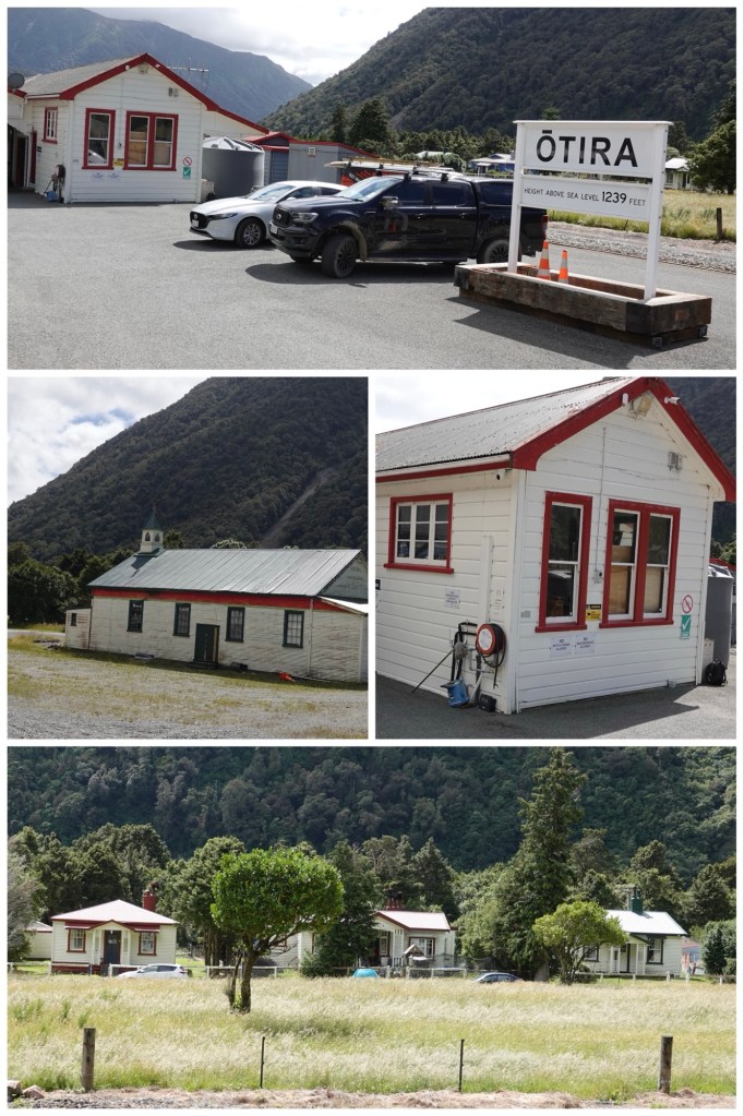
The tiny town of Otira was once an important railway town, at a time when electric trains were in use. After the change to diesel (which now seems backwards), the town was virtually abandoned. The entire town was sold twice, most recently in 2014, and is now owned by the same person who bought the Historic Otira Stagecoach Hotel. Shades of the Canadian sitcom Schitt’s Creek!
While en route we learned about the west coast’s economy, which has gone through lots of ups and downs due to its dependence on the gold rush (long over), lumber (native trees no longer allowed to be logged), coal, and now dairy farming. This is an “up” economy with hundreds of millions of gallons of milk powdered each year and exported, mostly to China.
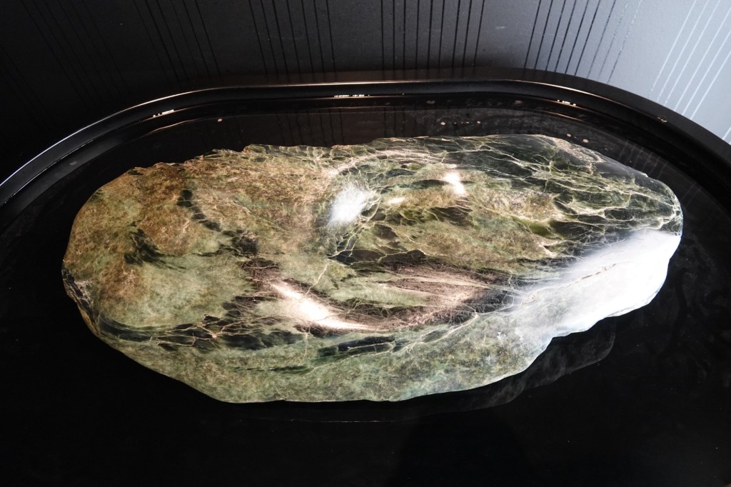
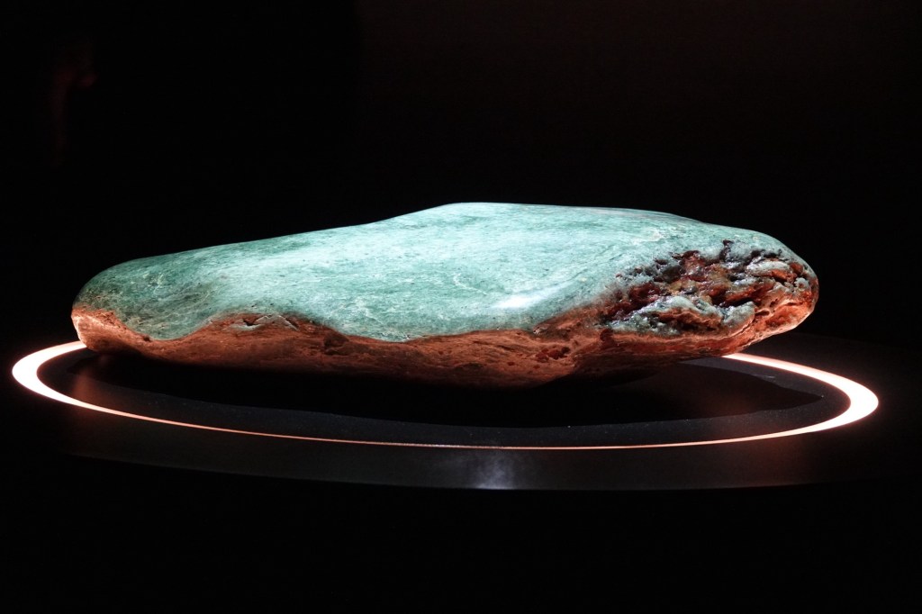
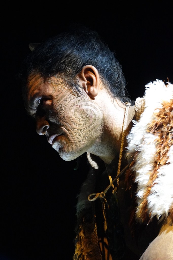
Once we reached Greymouth, we had a short stop at a new exhibit called Pounamu Pathway.
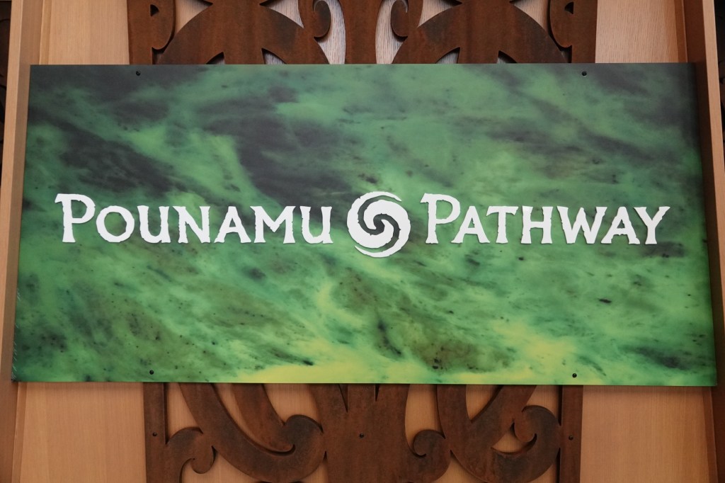
Pounamu is the green stone that is sacred to the Maori people. It is only found on New Zealand’s South Island, which is glacial (as opposed to the North Island which is volcanic).
The exhibit was created in conjunction with Wētā workshops and the local iwi, “iwi” being the word that means tribe in Māori.
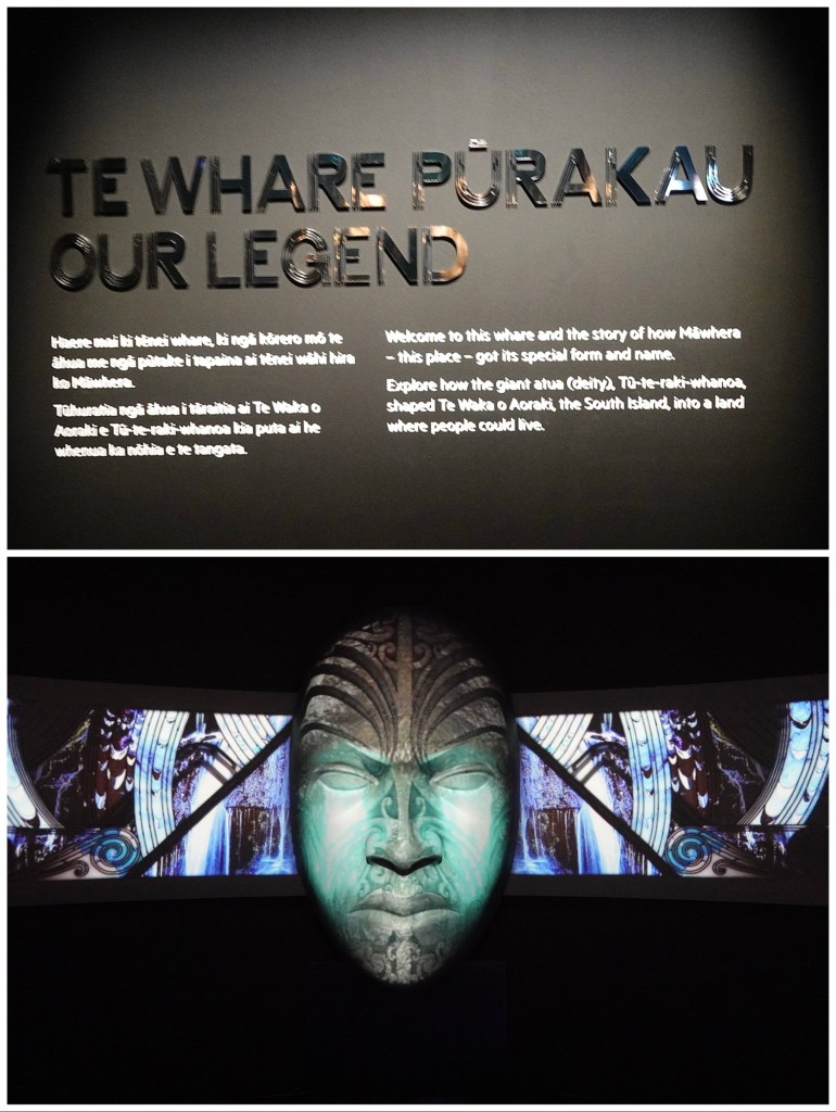
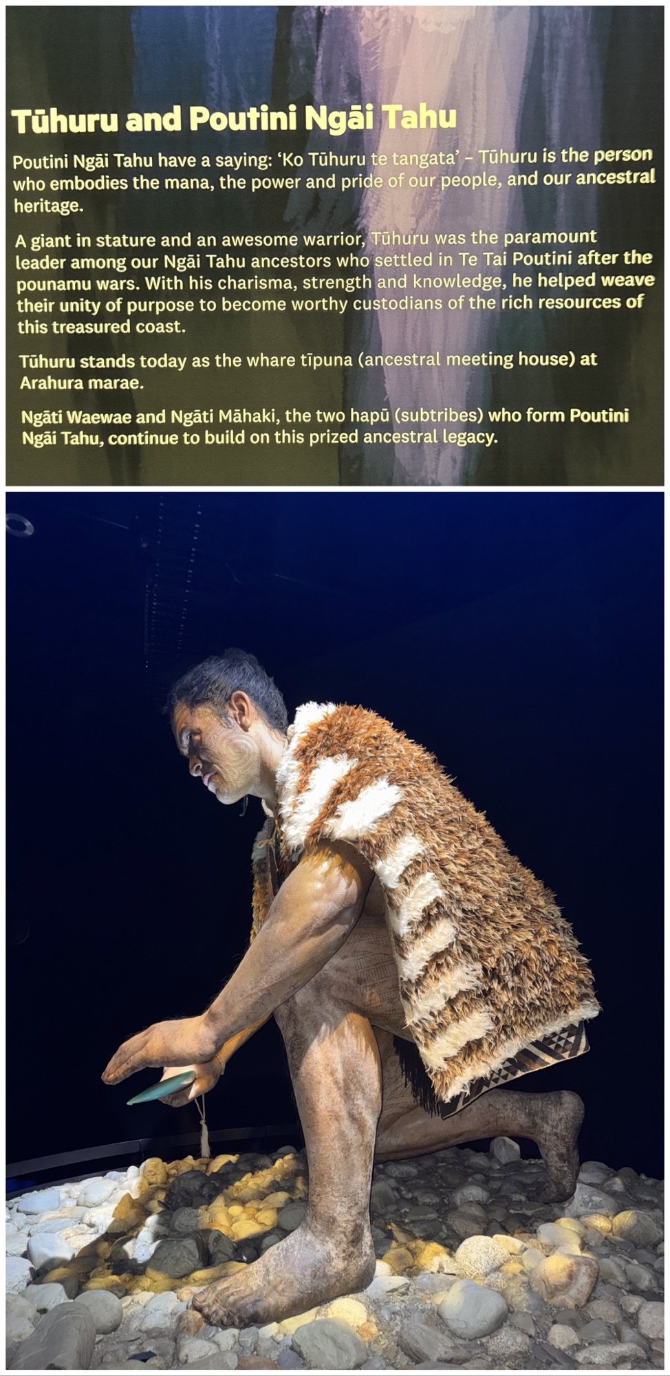
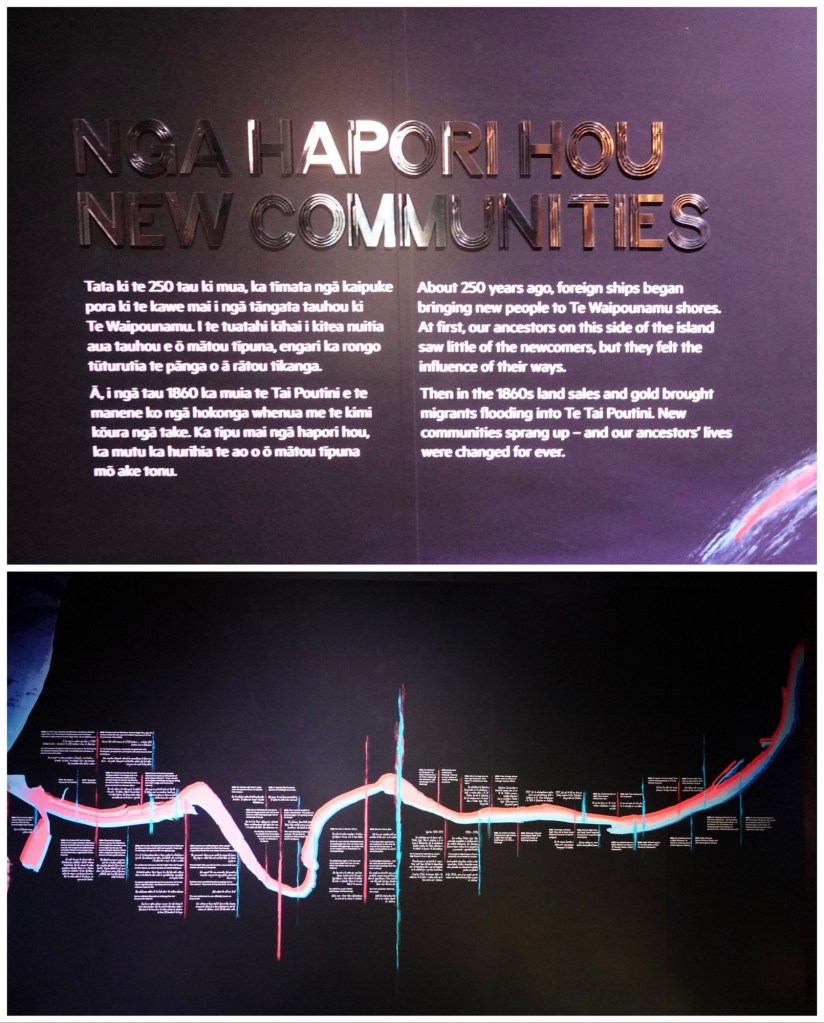
The pathway tells the story of the Māori tribes who lived here prior to colonization, and the challenges presented by the arrival of Europeans. The story mirrors much of what happened in both Australia and Canada where treaties were misunderstood, signed, broken, disputed and are now in the process of being renegotiated and/or reparations being made.
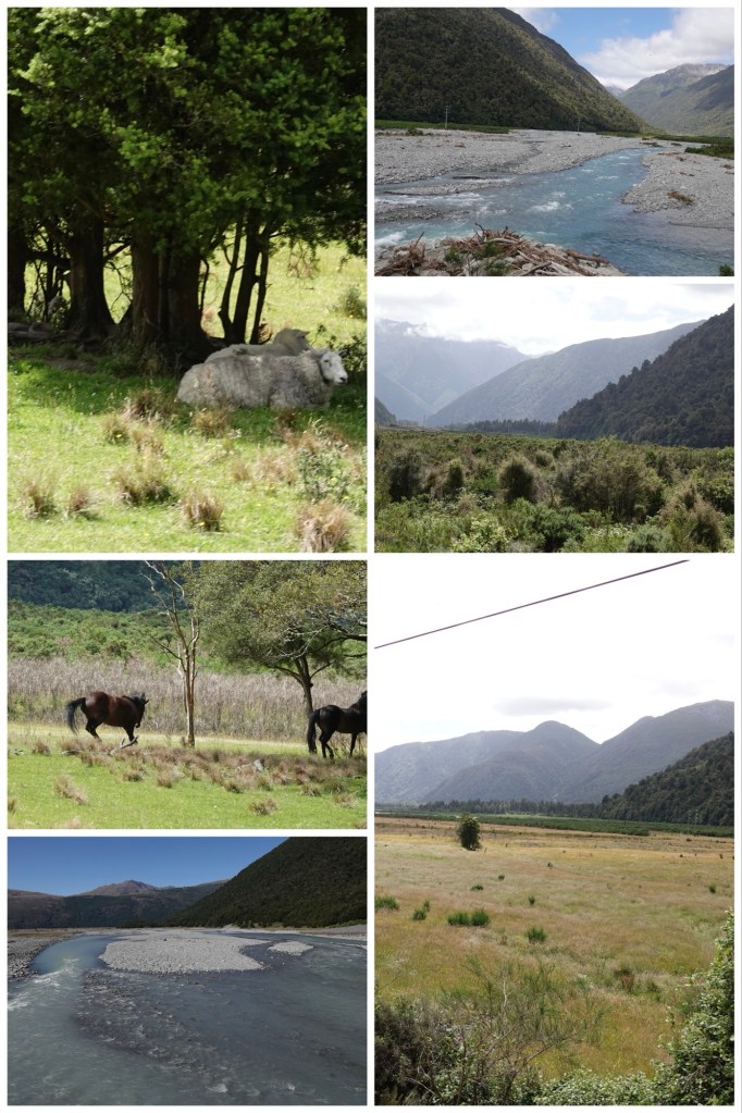
From Greymouth it was another two hours on twisting roads beside rivers created by glacial runoff, and forests that are truly primeval. The trees here are podocarps, which are a part of the conifer family which first appeared 360 million years ago, actually before flowering plants. They are are often known simply as native pines. Podocarps can live for up to 1,000 years. The five predominant species are Totara, Rimu, Kahikatea, Miro and Matai.
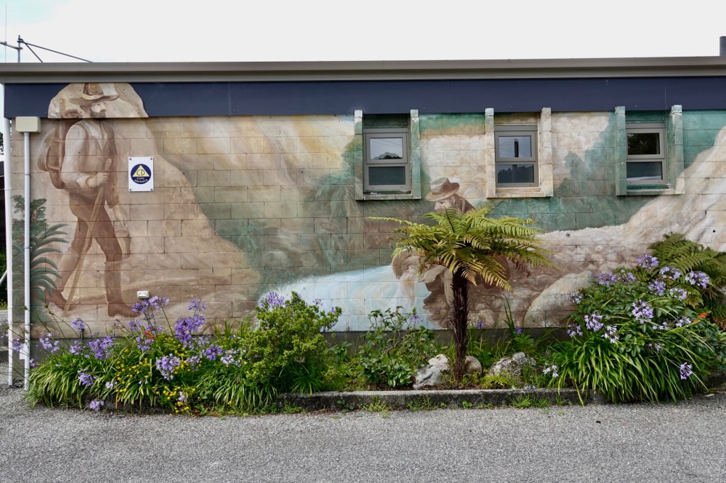
We had a brief comfort stop in Ross, where the mural on the tiny community centre pays homage to the town’s gold-mining past.
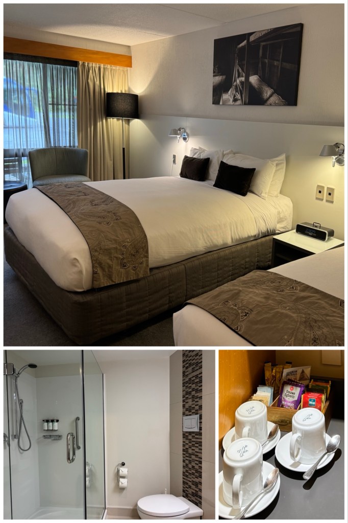
Our hotel for the night is the Scenic Hotel Franz Josef, which is also hosting an Oceania tour bus.
After a welcome drink, dinner was a simple small buffet at the hotel, which meant our self-serve plates were not pretty, but the food was tasty even if not particularly attractively presented.
The area’s main attraction is its glacier, named after Habsburg Emperor Franz Josef by the German explorer Von Haast, whose name lives on in the Haast Pass. Needless to say, the Māori name for the glacier has nothing to do with a European monarch.
Although we are not one of the 6 people flying over the glacier in a helicopter tomorrow, the remaining 34 of us have been promised at least a glimpse of another glacier, the Fox.
Our Māori words of the day:
- Whānau = group or family (“wh” is pronounced almost like “f”)
- Ata = morning
- Whane = house
- Waka = canoe
- Iwi = tribe/people
- Wai = water
- Kia ora = welcome
- Taonga = treasure
- Tapu = sacred

This trip sounds wonderful. I love that it covers most of the island and covers all kinds of travel. We did a land tour of New Zealand about 10 year ago and stayed at the Hermitage Hotel in Mt. Cook. I do remember that the view was wonderful. Enjoy and I love following your adventure.
LikeLiked by 1 person